Find food by how long it really takes to get there.
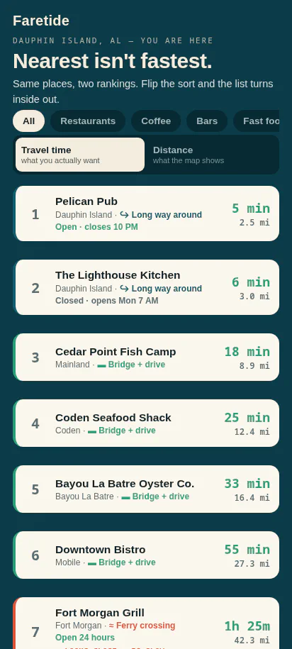
Maps measure a straight line. Faretide measures the trip — real drive and ferry time — then sorts nearby restaurants fastest-first. When a place looks close but water, a bridge, or traffic makes it slow, Faretide flags it so you don't get fooled.
The map is lying to you about distance
Almost everywhere, map proximity is a fine guess for travel time. It breaks where geography distorts the road network — islands, ferries, bridges, water, mountains, traffic. That's where Faretide earns its keep.
Sorts by real travel time
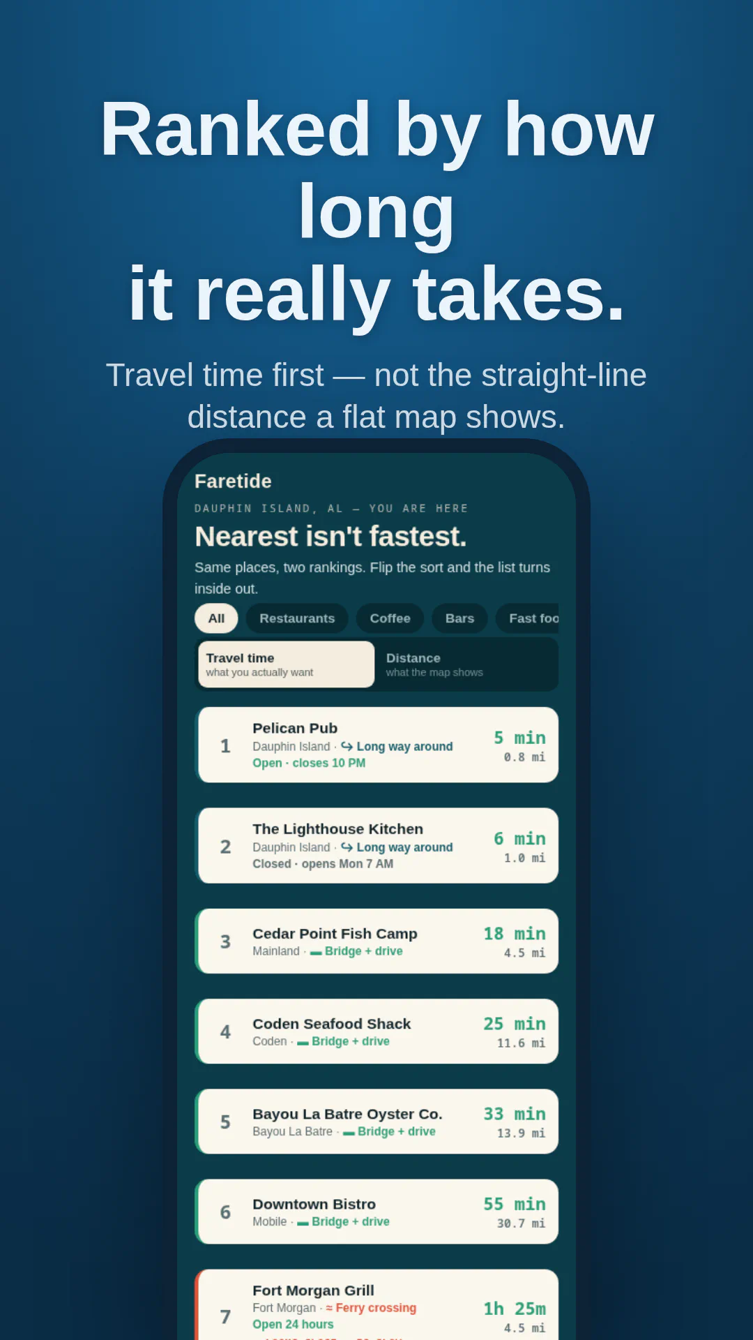
Every nearby restaurant, ranked by how long it actually takes to reach — real drive and ferry time from the routing engine, not the straight-line distance on the map. The closest pin is often not the fastest meal.
- Fastest-first ranking
- Real drive time
- Ferry time included
- Distance shown for contrast
Flags the traps
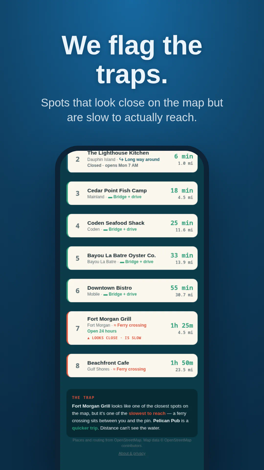
A spot that looks a few miles away across the water can take far longer than one that looks farther on the map. When something looks close but is slow to actually reach, Faretide marks it — so the map's shortest-looking option doesn't cost you an hour.
- Looks-close-but-slow detection
- Clear trap flag
- No guessing
- Honest ranking
Knows when a route uses a ferry
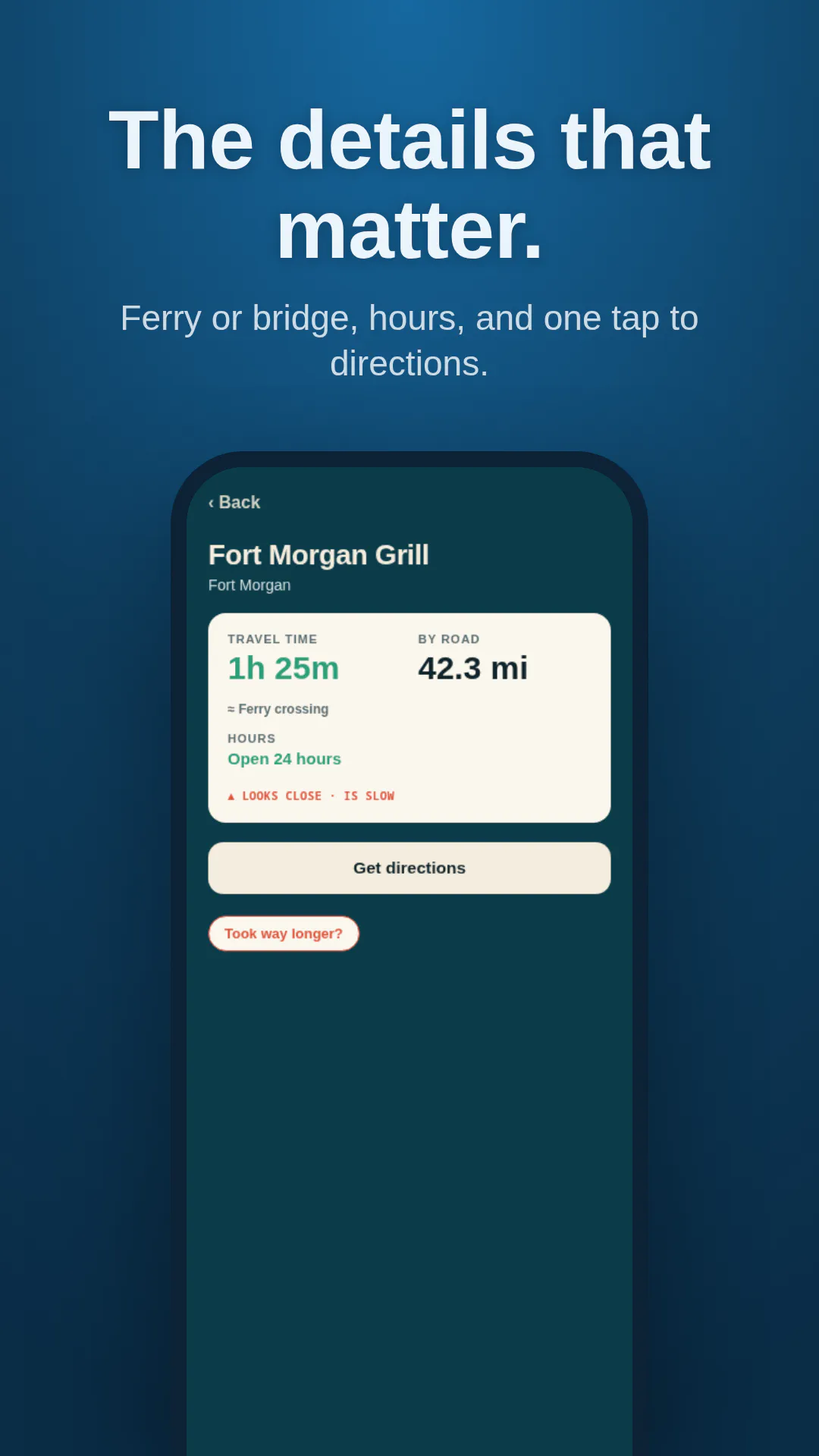
If the way there crosses on a ferry, Faretide says so and counts the crossing in the time — a scheduled boat you catch or wait for, or the long drive around. The kind of thing a straight road distance quietly ignores.
- Ferry-aware routing
- Crossing counted in the time
- Built for distorting geography
- Restaurants first
Get Faretide
Free. No ads, no account, no tracking, no data sold. I built and tested Faretide on the Gulf Coast, where the map lies the loudest.
Stop letting the map pick your dinner.
Faretide sorts nearby restaurants by real travel time — drive and ferry. Free, no ads, no account.